Topographic Survey
Developer Grade
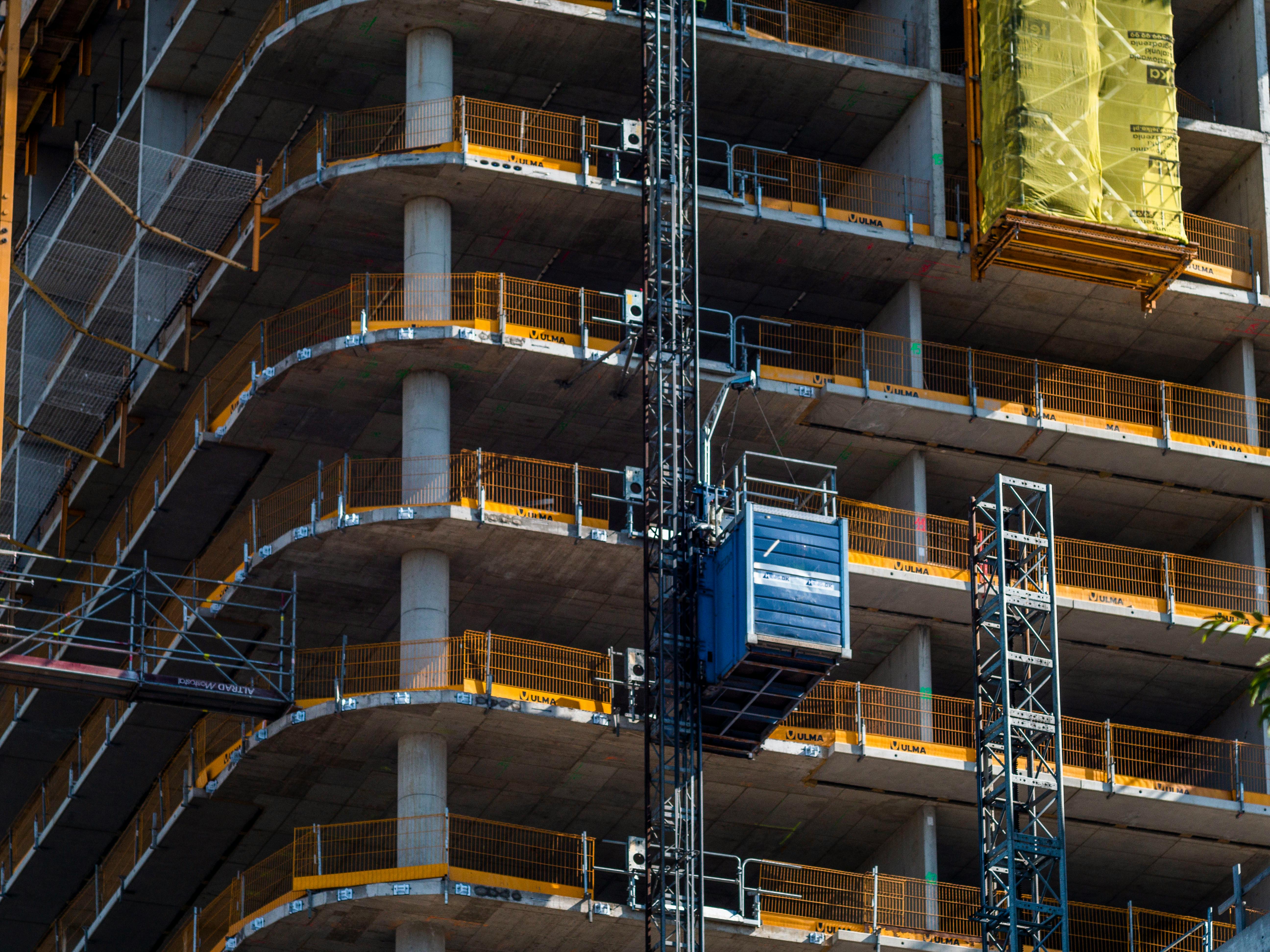
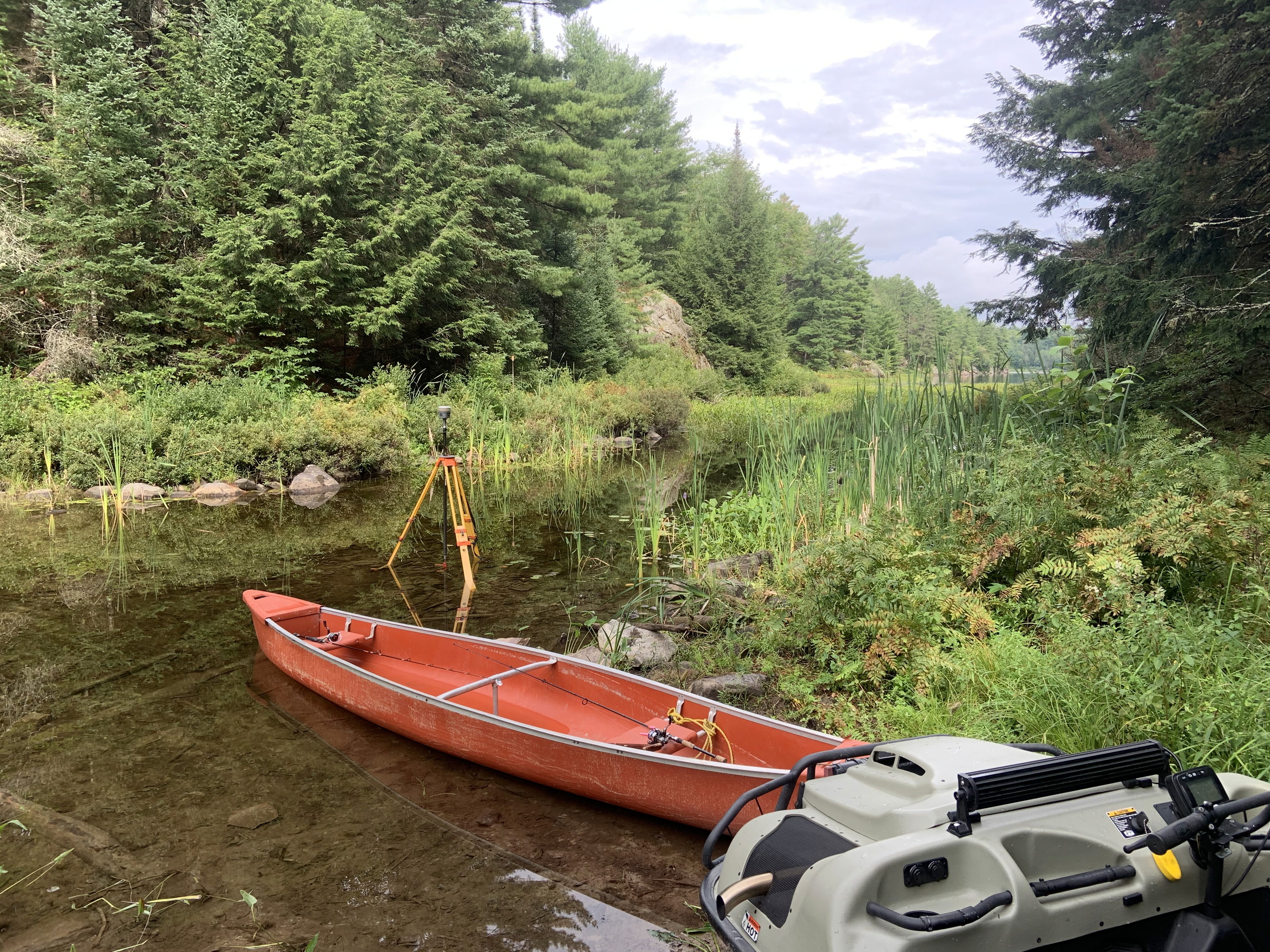
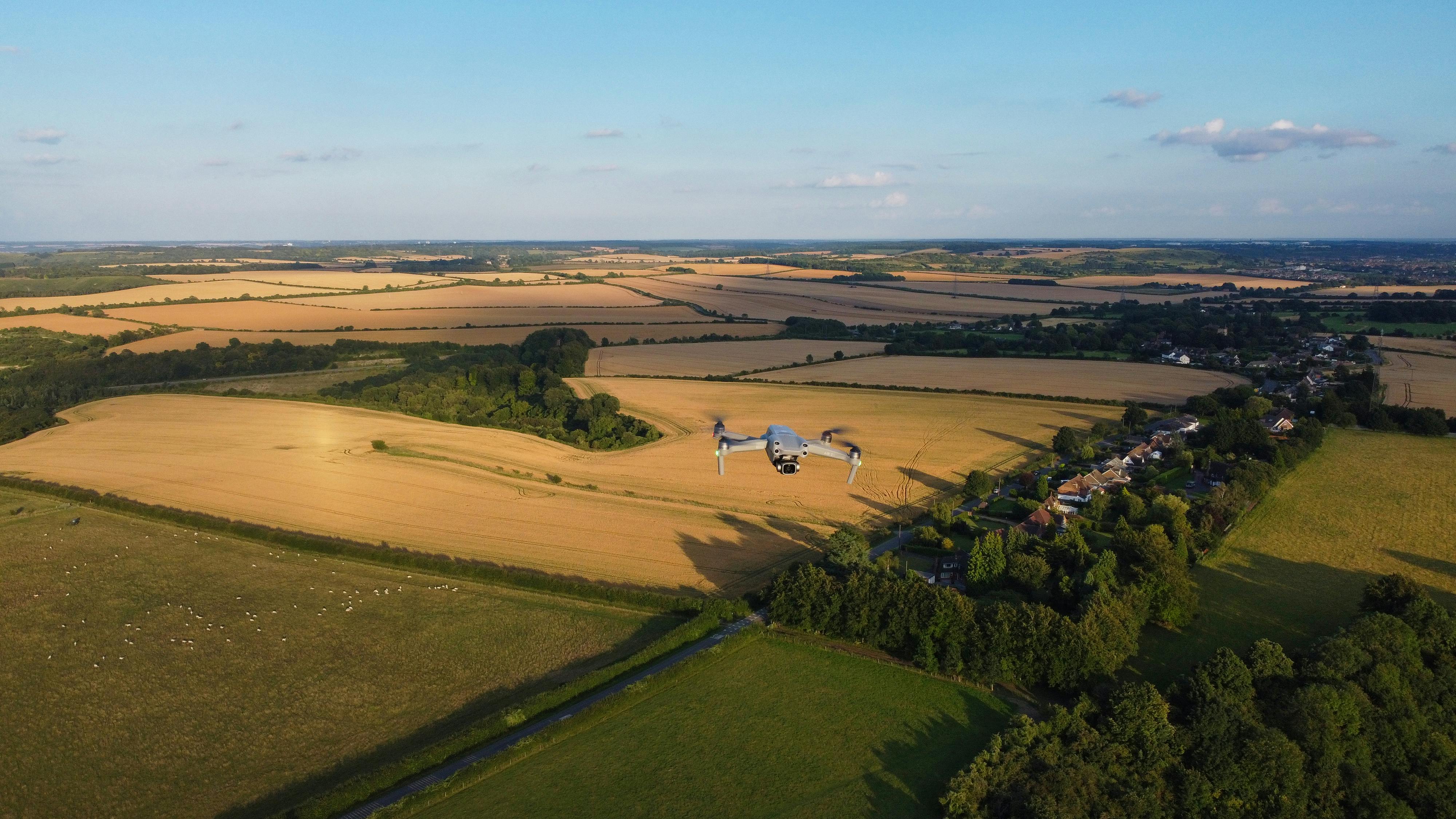
Topographic surveys provide a detailed map of the natural and made-made features of your lot in addition to an elevation grid. Created using robotic total stations, GPS/GNSS, and drone photogrammetry and LiDAR scanning equipment.
(905) 527 8559
What to Expect
Because every parcel of land is unique, turnaround times and final costs will vary based on your property's acreage, accessibility, and project complexity. Typical expectations are below.
99% Acceptance rate
Typical Process
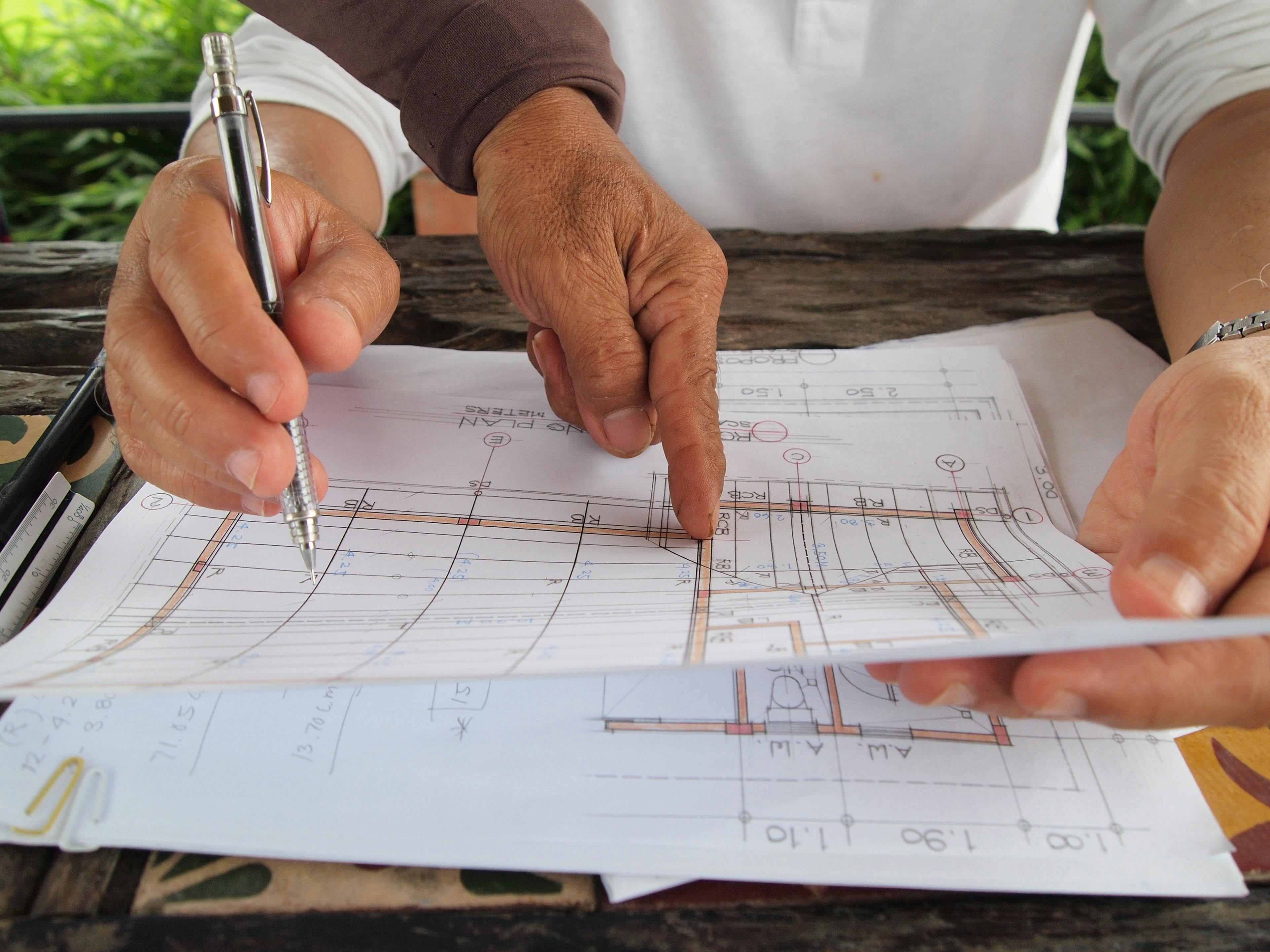
Your project begins the moment you contact A.T. McLaren with your property details. If you aren’t certain exactly what information or documents are required, rest assured—our knowledgeable team will guide you step-by-step to figure out exactly what is needed and provide a transparent, customized estimate.
Frequently Asked Questions
You have questions, we have answers.
How do your topographic deliverables integrate with our engineering workflows?
Can you provide detailed 3D models and DTMs?
Do you conduct topographic surveys for developers in the winter?
Are you equipped to handle topographies for complex or sloped terrain?
What are your standard formats for digital deliverables?
Do you coordinate directly with our civil engineers and architects?
(905) 527 8559
Since 1968
A.T. McLaren has been serving the Greater Hamilton Niagara Area with pride. We use proprietary land records and the latest technology to provide defensible surveys that save you time and money.